


About
The city of Augusta Bagiennorum was founded by the Romans in the last twenty-five years of the 1st century BC, in the middle valley of the Tanaro, corresponding to ancient Inner Liguria (Regio IX of the Augustan organization). The site was strategically important for controlling transit between the Po Valley, the valleys of the Po's tributaries, and the Alpine passes, as the city was located along the road axis connecting the middle valley of the Tanaro and Pedona (Borgo San Dalmazzo), home of the Quadragesima Galliarum, and thus with the Maddalena pass. Mentioned by Pliny the Elder, the exact location of the city was identified thanks to the research activity of two scholars from Bene, Giuseppe Assandria and Giovanni Vacchetta, between the late 19th century and 1925.
Since 1993, following the Regional Law establishing Natural Parks, the archaeological area of Augusta Bagiennorum has become a Special Nature Reserve and is part of the Marguareis Natural Park, while the recent acquisition of the land where the remains of the main public monuments (temple, Forum, civil basilica, amphitheater) are located has allowed new excavation campaigns to be started, revealing part of the buildings and expanding the visitor's route.
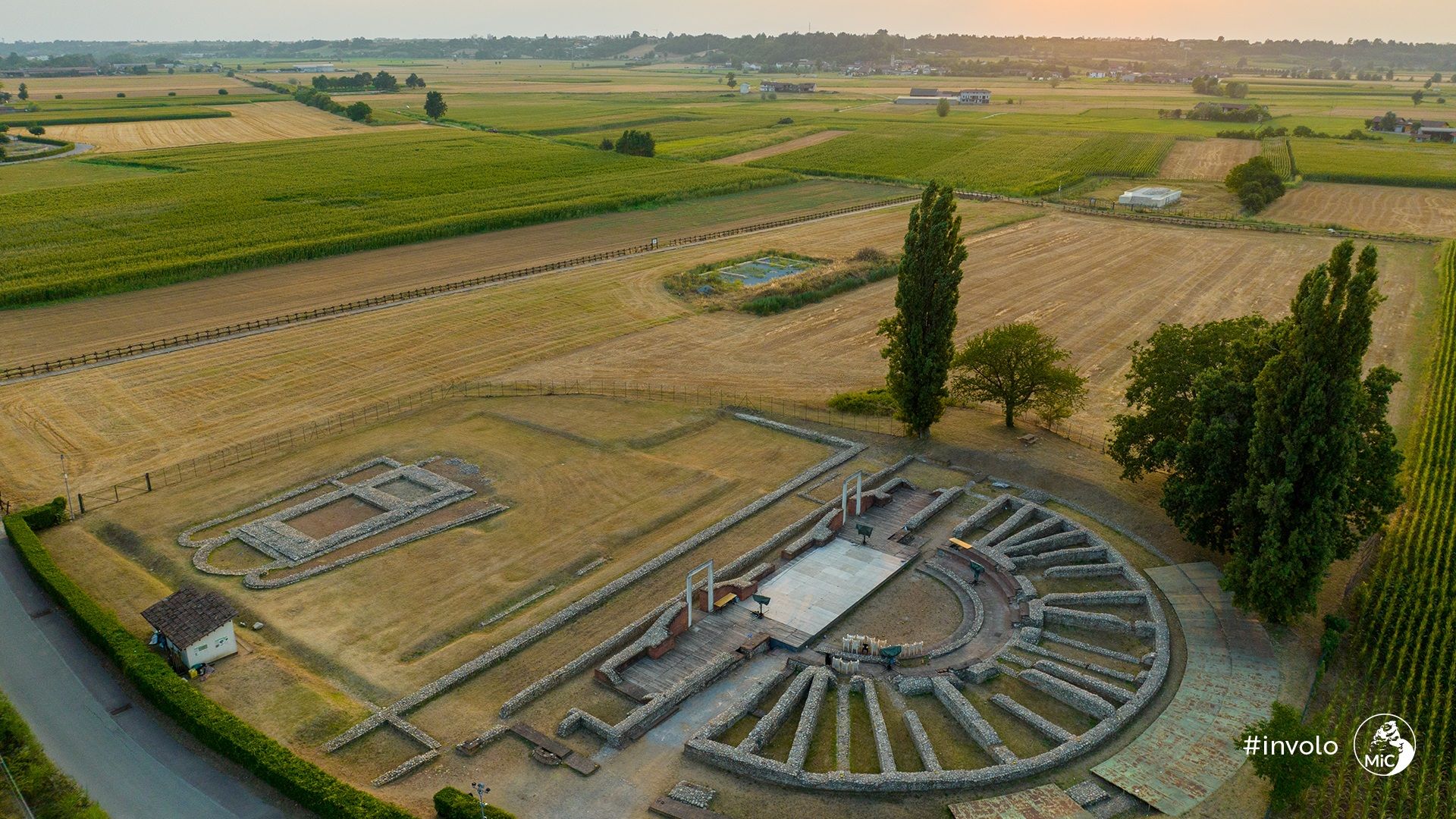
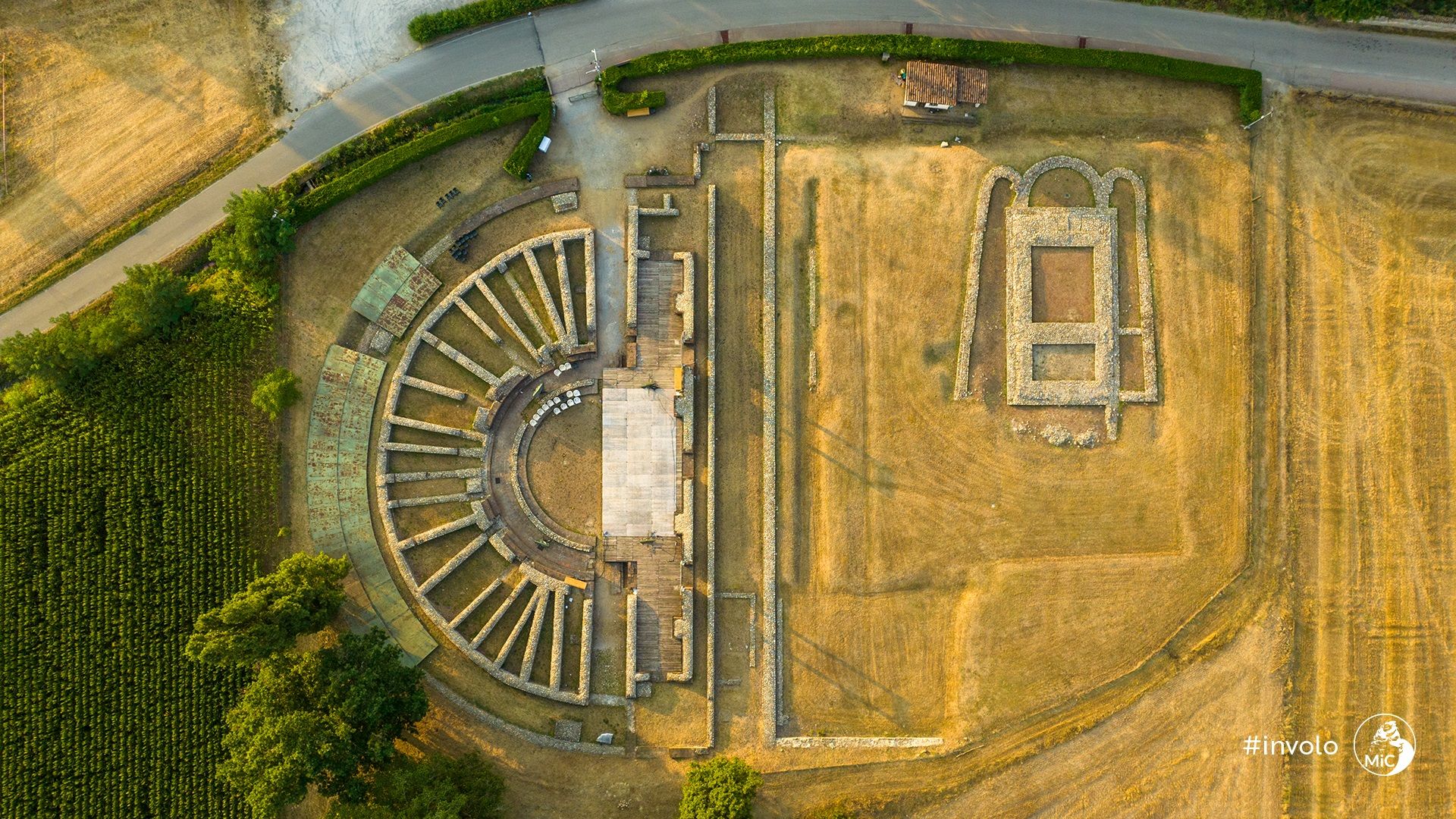
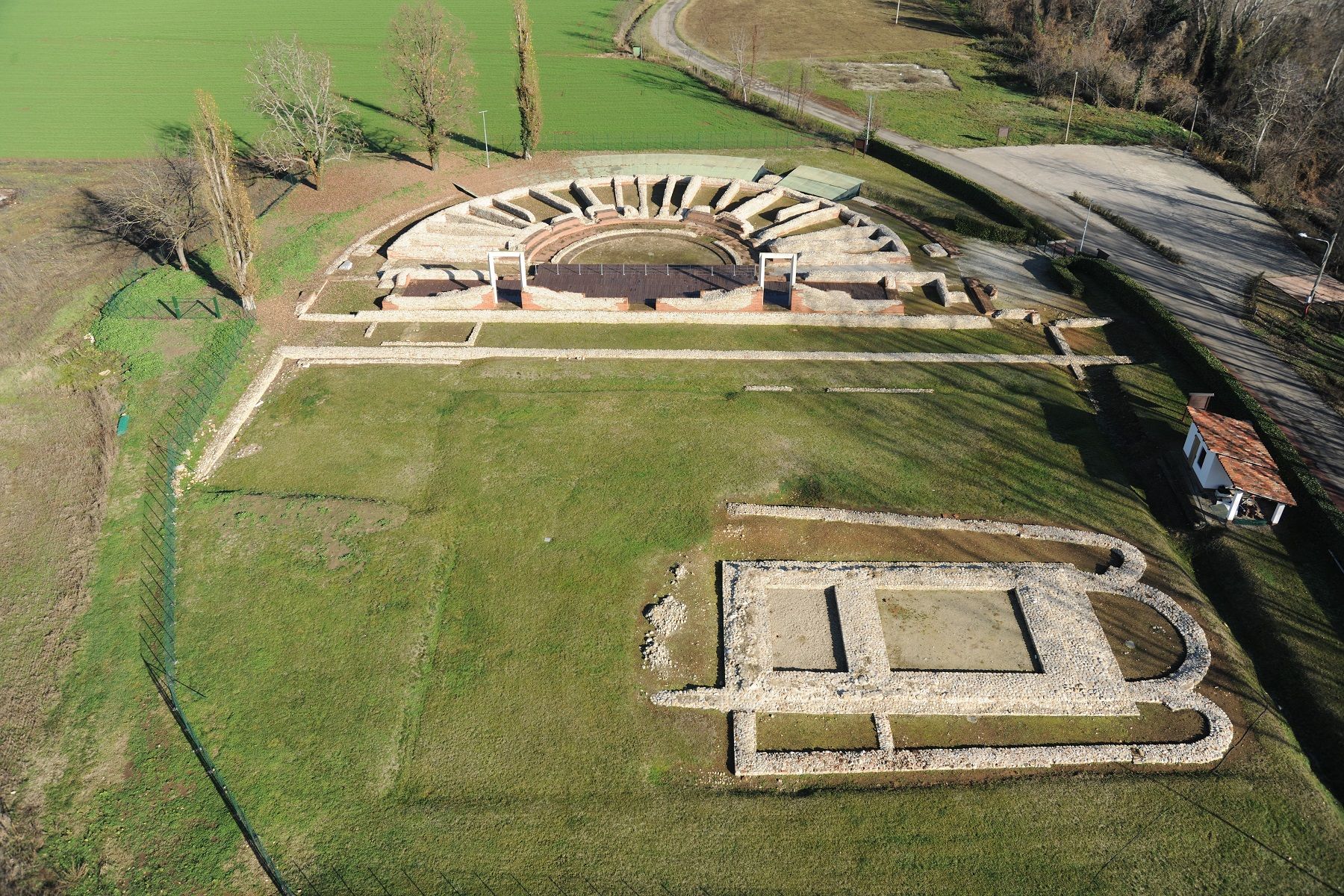
Today, of the ancient settlement, which extended over the Roncaglia Plain for about twenty-one hectares, approximately five hectares are fenced and accessible to the public, while the remaining land remains privately owned and used for cultivation. However, the creation of an equipped path with educational panels and bilingual texts in Italian and English, guiding the visitor to discover the site through evocative graphic reconstructions of the ancient state of the place, allows understanding the urban organization of Augusta Bagiennorum, how the streets, towers, and gates were built, where the necropolises were located, and what were its most important monuments, even where the remains are still preserved underground and no longer visible today.
Access to the area is from the Bene Vagienna-Narzole Provincial Road via the local road delle Lame, recently renovated and expanded. The starting point of the route is the rural church of San Pietro, built in the 15th century above the remains of the extra-urban section of the Roman aqueduct, near the southern necropolis that extended to the amphitheater. From here, a route exclusively accessible on foot or by bicycle develops, bordering the fields where the bases of one of the corner towers and a probable funerary monument still emerge, reaching the public part of the city with the sacred area and the remains of the temple's podium, the intersection between the main decumanus and one of the main cardines, the actual Forum with the civil basilica, whose remains are still largely unexplored, the theater complex with the portico behind the stage (porticus post scaenam), and finally, through the road of Roncaglia, it ends with the visit to the amphitheater and the Ellena farmhouse, home of the Park and the Superintendence, as well as a reception and educational activities center.
Programme and activities
Guided tours, exhibitions and events at Augusta Bagiennorum Archaeological Area will appear here. Follow the museum to get updates.